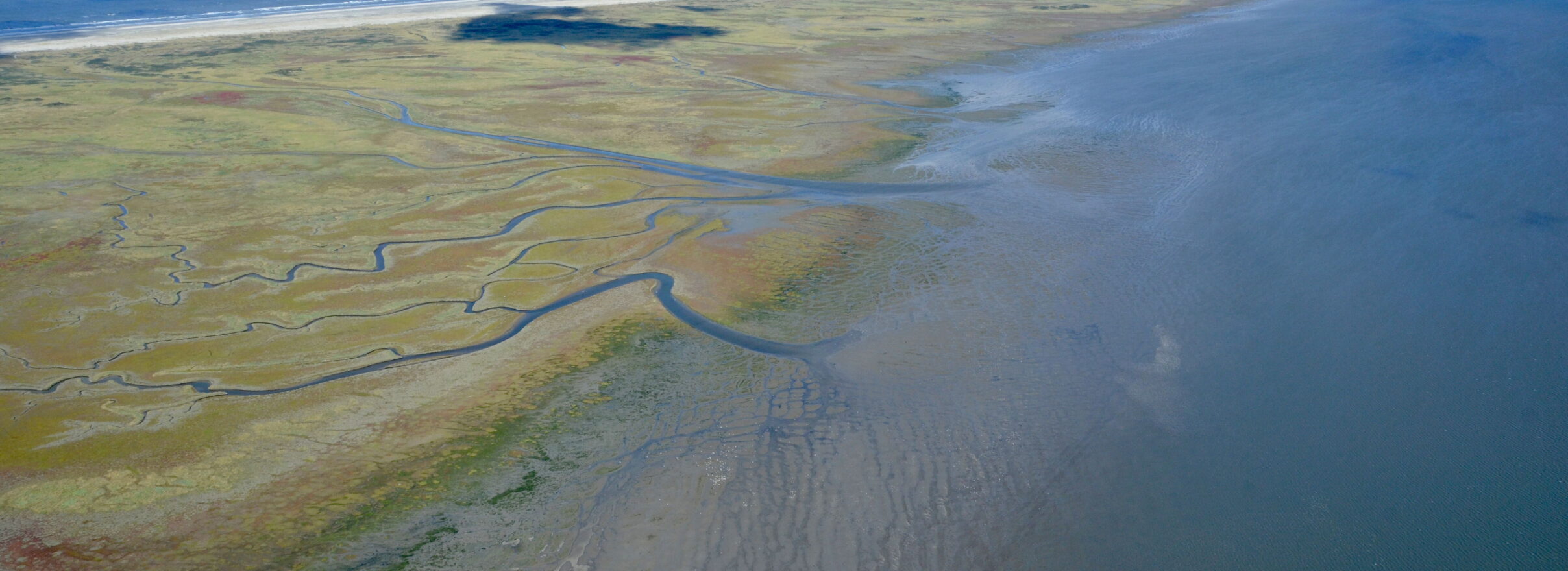
The borders of the National Park on the map
The largest part of Schiermonnikoog belongs to the National Park. Only the village and the polder are excluded. On this map of Schiermonnikoog you can see exactly where the boundaries are. The red line is the boundary between village/polder and the National Park. The red dotted line is the outside boundary of the park. The municipal border and the provincial border are also shown on this map.
You can download this map as a pdf-file.
What is allowed where?
In the folder Welcome to Schiermonnikoog all arrangements concerning the National Park Schiermonnikoog are listed. Where are you allowed to let your dog run freely and where should it be on leash? Where on the beach are kiting and kitesurfing allowed? And which part of the beach is supervised? You can find it all in the folder.


